Over 70% of Mozambique’s population lives in rural and remote areas. Many of the roads to these areas are difficult to travel, especially during the wet season, when they become muddy or flooded. Project Last Mile and its partners are working to identify the best routes for getting medicines to primary healthcare facilities in both the wet and dry seasons. Good information is the foundation of good distribution. It is important for teams to be able to plan routes based on monthly demand and weather-related accessibility. This is made much easier with reliable information about road quality and projected driving times for different routes.
Project Last Mile has developed a system to determine how long it takes to get to each healthcare facility in different seasons. The project includes an analysis of the driving time on different roads using GPS tracking and updated road drivability information. Understanding how long it takes to get to each healthcare facility and what the terrain is like will help Mozambique’s Central de Medicamentos e Artigos Medico (CMAM) make informed decisions when designing a distribution strategy.
The analysis provided a time and distance matrix between all storage depots and health facilities and an improved understanding of the different wet and dry season conditions in different provinces. This allowed Project Last Mile to provided vehicle recommendations and simulated distribution plans on optimal routes for different seasons, and will have a significant impact on the overall ability of the CMAM to effectively service the last mile.
In an application of the project in the Nampula Province, key results included:
- 240 health facility and warehouse locations were verified and geotagged.
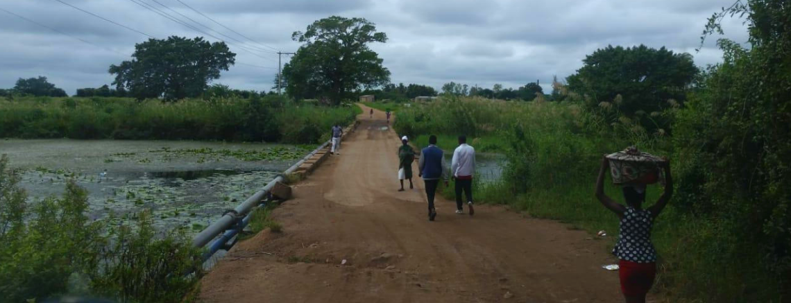
- Mapping and photographing over 260 high-risk points that have the potential to disrupt distribution.
- Over 20,000km of GPS tracking data was recorded and used to modify the Nampula road network.
- Local insights were gained on the best suited vehicles and roads to use in Nampula for both wet and dry season.
Using the Nampula road network data, Project Last Mile was able to optimize routes for the current district warehouse locations, with projected cost savings of around $3.06 to $3.09 per kilometer when shifting to an intermediary warehouse model. Further efficiencies and cost savings were identified and quantified by exploring alternative warehouse locations and cross provincial boundary distribution.